Roxanne Bradley-Tate
When residents know something in their environment is putting them at risk, how can they produce clear evidence that demands attention and action?
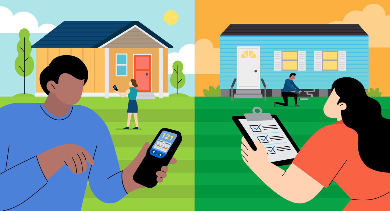
Across the country, communities are generating their own local data to document environmental conditions they experience daily. They are measuring air quality inside homes, tracking water outages and safety concerns, mapping extreme heat block by block, and documenting where failing infrastructure creates health and environmental risks.
For several Local Data for Equitable Communities grantees, this kind of data collection is helping residents turn firsthand knowledge into evidence they can use. Working alongside community organizations and research and government partners, residents are helping shape what information is collected, contributing data about conditions in their communities, and helping interpret what the findings mean.
Measuring Environmental Hazards Where People Live
In many tribal communities, inadequate investment has prevented the development of robust waste management infrastructure. In Rosebud, South Dakota, residents have firsthand experience with the effects of unregulated dumping and burning of household waste. But there is limited community-level data documenting how those practices affect air quality or whether smoke from burning trash is making its way into nearby homes.
The Great Plains Tribal Leaders Health Board is working with the Rosebud Sioux Tribe and Sinte Gleska University to change that. With support from researchers at the University of New Mexico and Pennsylvania State University, they will document and map burn pits and dump sites. The project team will also survey households and conduct air-quality monitoring at participating homes.
The result will be tribally owned environmental data, in accordance with tribal data sovereignty principles, that can help residents and tribal leaders better understand potential exposure to contaminants. Residents will participate in interpreting the findings and will receive the results of the monitoring. The findings will also be shared with the Rosebud Sioux Tribal sanitary department and Tribal leaders to inform cleanup, environmental monitoring, waste management policy, and advocacy for infrastructure investment.
More than 1,000 miles away, Brightline Defense Project is examining environmental risks inside single-room occupancy (SRO) buildings in San Francisco's Tenderloin and South of Market neighborhoods. Thousands of people live in SROs, many in older buildings that were not designed for extreme heat or wildfire smoke. Opening a window may provide relief from the heat while increasing exposure to polluted outdoor air. Brightline wants to understand how well these buildings protect tenants from both hazards.
The project will document conditions in five buildings, such as window functionality, mold, and weatherization, while measuring indoor temperature and air quality. SRO tenants will help guide the research and develop surveys, outreach materials, and the final report.
In both communities, measuring conditions where people actually live can provide information that broader environmental data may not capture. It can help connect residents' experiences to evidence about when, where, and how environmental exposure is occurring.
Documenting Infrastructure Gaps from the Ground Up
Collecting local data can also help communities document problems with the infrastructure they rely on every day.
Residents of mobile home communities in Larimer County, Colorado, have raised concerns about water quality, low water pressure, and recurring outages. The Family Center/La Familia is working with resident leaders from 12 mobile home communities and the Larimer County Department of Health and Environment to develop a bilingual water quality and access reporting tool.
With the tool, residents will document water outages, water-quality incidents, their perceptions of water safety, and their experiences trying to resolve previous complaints. The project team will analyze the information and develop recommendations for improving how water deficiencies are reported and how policies and infrastructure respond to them.
The findings will be compiled into a water access and safety report and shared with residents and local governments. The goal is to provide timely, community-generated evidence that can inform policy, programs, and infrastructure improvements while giving residents better tools for documenting problems they experience.
In Georgetown County, South Carolina, the Gullah Geechee Chamber Foundation Inc. is also gathering community-level evidence about water infrastructure, this time focusing on wastewater. Many homes in the Gullah Geechee communities of Andrews, Plantersville, Sandy Island, and Georgetown's West End lack connections to centralized sewer systems. Residents instead rely on septic systems that can fail during flooding or as sea levels rise.
Local residents will help the foundation define research questions and protocols, interpret findings, and identify priorities for future infrastructure investment. Their research will document sewer access, septic system performance, flooding, barriers to sewer connections, and perceived health and economic effects.
Together, these data can help residents, community organizations, and local agencies better understand where infrastructure gaps exist and can inform decisions about sewer expansion, climate adaptation, land use, and infrastructure investment.
Mapping Risks Block by Block
In South Los Angeles, Community Development Technologies Center (CDTech) is working with residents to develop a detailed picture of extreme heat and access to cooling infrastructure. The project will combine government data and NASA satellite imagery with information gathered directly in the community.
CDTech and Sociedad Organizada de Latinas Activas will train 20 residents to conduct surveys and neighborhood walk audits. Residents will also participate in framing research questions, analyzing findings, and presenting the results to decisionmakers.
The team will use these data to develop a heat vulnerability index at the census block level, creating a localized picture of where heat exposure is greatest and where resources such as trees, shade structures, and cool pavement may be needed most. The findings will be presented to the Los Angeles City Council to inform decisions about 2027–28 public funding for cooling infrastructure and to the Los Angeles Unified School District board to encourage improvements at schools experiencing particularly high heat burdens.
What These Communities Can Teach Us
These projects demonstrate the value of locally generated data. They can reveal conditions that other datasets may overlook, add context that numbers alone cannot provide, and create a clearer picture of how environmental hazards affect people at the household and neighborhood levels. Valuing lived expertise and pairing it with local data collection empowers communities and their partners to uncover patterns that might otherwise be missed, and build the evidence needed to press for changes in policies, public investments, and infrastructure.
About the Initiative
The Local Data for Equitable Communities grant program, funded by the Robert Wood Johnson Foundation, is supporting 30 grantee organizations across the country to use local data and community experience to improve conditions specific to those places. These projects span rural and urban areas, engage a broad range of community members, and address such issues as environmental health, food access, housing and land use, climate sustainability, and justice.
Learn more about all the Local Data for Equitable Communities grantees.
Stay Connected
Sign up for the Housing and Communities Division newsletter to receive updates on this program and other work at the intersection of environmental justice and community development. Share this with a colleague who works in or follows this field. Our next post in this series will share grantee projects focused on food systems and access to healthy food. Stay tuned.